Off the Beaten Drift: Finding Solitude and Trophy Fish on the Au Sable's Overlooked Stretches
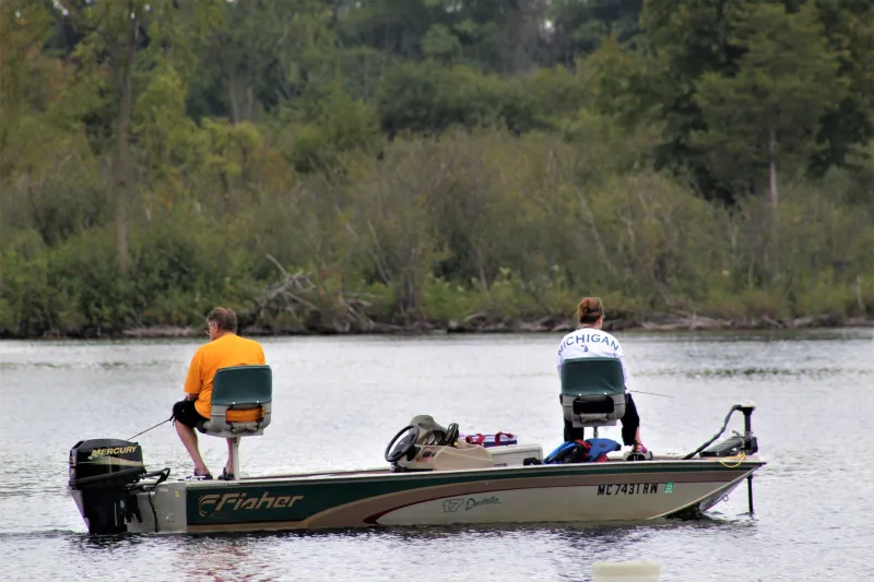
Every summer, the same scene plays out on the holy water between Grayling and Mio. Drift boats stack up like rush-hour traffic. Waders claim runs at dawn like they're staking mining claims. The fish—smart, pressured, and increasingly selective—get harder to fool with every passing week. It's not that the famous water isn't worth fishing. It absolutely is. But if you've been spending every trip elbowing for position on the same two-mile stretch everyone else knows about, you're leaving a lot of river on the table.
The Au Sable system is enormous. Between the mainstream, the North Branch, the South Branch, and the East Branch, there are well over 200 miles of trout water worth exploring. Most of it doesn't appear on the glossy tourist brochures, and that's exactly the point.
Why the Overlooked Water Gets Overlooked
Here's the honest answer: access is harder, the fish aren't always as large on average, and the stretches don't come with the same legendary backstory as the holy water. That's enough to keep the casual crowd away. But for anglers who are actually trying to catch fish rather than fish famous water, those "drawbacks" start to look like features.
Less pressure means less-educated trout. Less-educated trout eat more flies. That math works in your favor every single time.
The Upper North Branch: Pine Forest Solitude
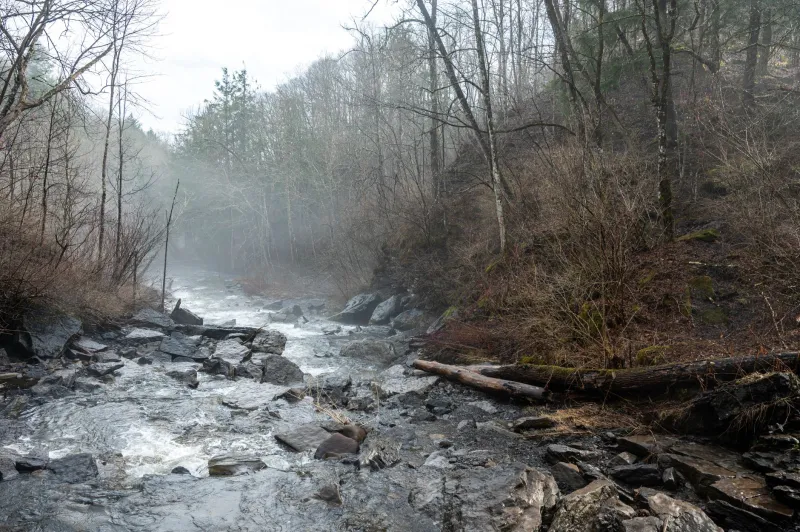
If you haven't spent time on the upper North Branch above Lovells, you're missing one of the Au Sable system's most underrated fisheries. This stretch runs cold and tight, threading through stands of jack pine and cedar that feel genuinely remote even though you're never that far from a two-track road.
The river here is narrow—sometimes frustratingly so. You'll need to keep your casting tight and your approach quieter than you think is necessary. The trout are wild and native, and they haven't seen the fly rotation that fish on the mainstream know by heart. Early season is particularly productive here, as the canopy keeps water temperatures cooler longer into June and July than the more open stretches downstream.
Access points worth knowing: the Sheep Ranch Road crossing offers a solid put-in, and the stretch downstream toward the confluence with the mainstream holds surprising numbers of fish in the deeper bends. Go early in the week if you can. Weekend pressure, while still light compared to the holy water, does make a noticeable difference.
The South Branch Below Chase Bridge
The South Branch gets some attention around Chase Bridge and the Mason Tract, and rightfully so—it's gorgeous water with a storied history. But most anglers never push downstream past the well-worn access points, and that's where things get interesting.
The lower South Branch, particularly in the miles approaching its confluence with the mainstream, transitions into a wider, slower character. The fish here tend to run larger, holding in deep undercut banks and the kind of logjam structure that makes precision casting non-negotiable. This is streamer country in the fall. Big articulated patterns thrown tight to the bank and stripped back with attitude will move fish that would laugh at a size 18 dry fly.
Bring your wading staff. The bottom is uneven and the current deceptive. The reward for navigating it is legitimate trophy water with almost no competition.
The East Branch: The One Nobody Talks About
Ask a dozen Au Sable regulars about the East Branch and at least eight of them will give you a blank look. That tells you everything. The East Branch, flowing through Oscoda County before joining the mainstream near Mio, is genuinely off the radar for most visiting anglers—and it fishes like it.
This is smaller, intimate water. The trout aren't going to make your hero-shot reel, but they're wild, they're willing, and on a good evening hatch you can have action that would embarrass many more famous stretches. The East Branch also tends to come into form slightly later in the season than the mainstream, making it a solid late-summer option when other sections are running warm and low.
The access situation requires a little map work. Several stretches cross private land, so do your homework with the DNR's public land maps before you go. The effort is worth it.
Mio Pond Tailwater: Cold Water When It Counts
This one is an open secret among locals but still flies under the radar for visiting anglers. The tailwater below Mio Pond Dam runs consistently cold through the dog days of summer, providing a genuine refuge for trout when the rest of the river is pushing temperatures that put fish into stress.
Mid-July through August, when most of the mainstream is fishing tough during the heat of the day, the Mio tailwater is producing. The fish concentrate here, they're in feeding condition, and they're catchable. The tradeoff is that this stretch does see more angler traffic than the remote options above—word has gotten out to some degree. But it's still a fraction of the pressure you'll find on the holy water, and the cold-water advantage is very real.
Morning fishing here is exceptional. The hatch activity in the tailwater has its own rhythm, slightly offset from what you'll see elsewhere on the river, so don't assume your standard timing applies.
How to Find Your Own Spots
The honest truth is that the best hidden stretches on the Au Sable are the ones you find yourself. A Michigan DNR public land map, a willingness to hike a half-mile from your truck, and the patience to fish water that looks unimpressive at first glance—those three things will unlock river that most anglers never see.
Stop into the shop before your next trip. We can point you toward the general areas and help you figure out what's fishing well right now. The Au Sable is a big river. You don't have to fight for the same run as everyone else.